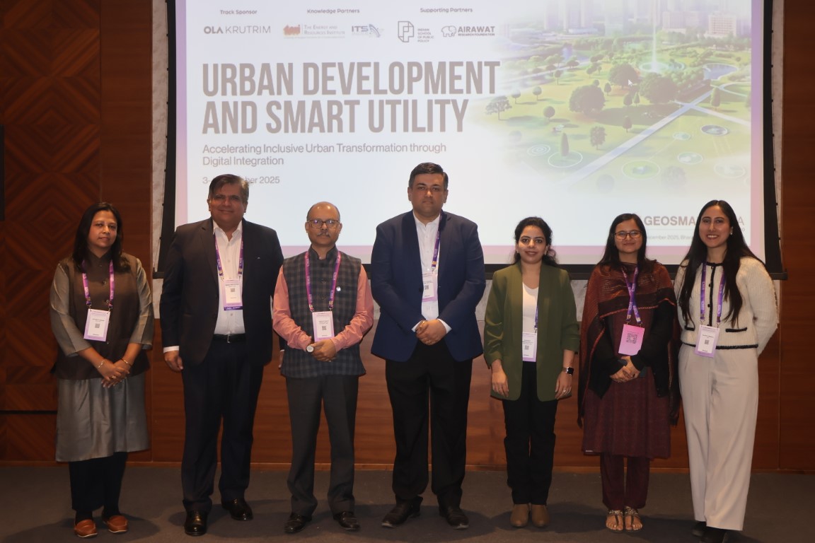
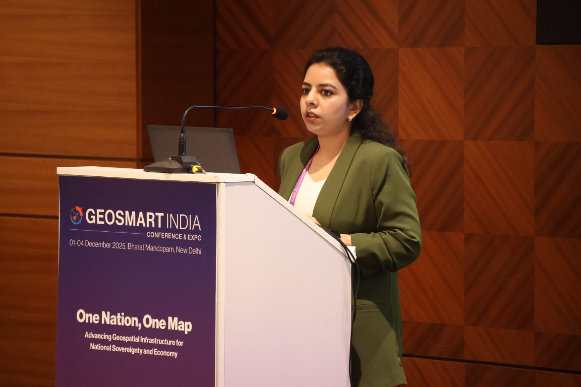
ICLEI South Asia participated in the GeoSmart India Conference and Expo held in New Delhi on 4 December 2025. Manasa Garikaparthi, Senior Project Officer (Urban), spoke at the Urban Development & Utility Summit, which focused on how geospatial intelligence, digital twins, AI, IoT, and data platforms are driving smarter urban planning, robust utility systems, and sustainable service delivery across power and telecom sectors.
As South Asian cities face intensifying climate risks, geospatial intelligence is becoming increasingly critical for translating climate data into actionable urban planning and making infrastructure-related decisions.
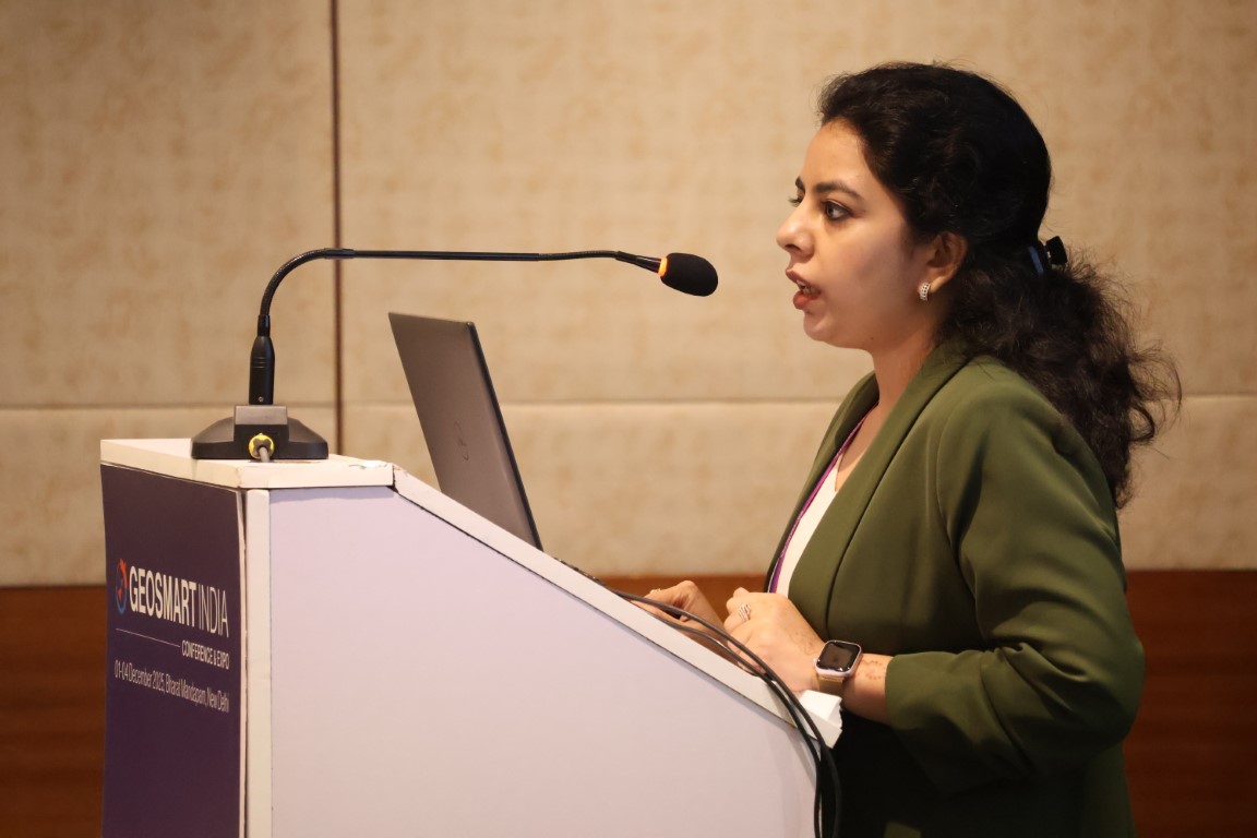
Speaking at a session on “Integrating Disaster Risk Reduction into Urban Development and Utility Infrastructure Planning,” Ms. Garikaparthi underscored how geospatial mapping and digital tools are strengthening data-driven decision-making in climate risk and vulnerability assessments. The session highlighted the growing need to embed the four phases of Disaster Risk Reduction (DRR), including early warning or preparedness; response; recovery; and mitigation and adaptation, and resilience measures into urban development processes to ensure that cities are better equipped to anticipate and manage climate-related impacts.
Ms. Garikaparthi presented key initiatives from ICLEI South Asia’s ongoing work, including:
- Integrating DRR into city-level Climate Action Plans through geospatial mapping and analysis. ICLEI South Asia assisted Ahmedabad and Surat in developing their Climate Resilient City Action Plans (CRCAPs) by mapping flood-prone areas, recording Land Surface temperature (LST) to identify heat hotspots, and identifying low-lying areas vulnerable to vector-borne diseases during intense rainfall and flooding.
- Deploying IoT-based early warning systems such as water-level sensors for flood management. In Tirunelveli, the implementation of a flood early warning system provides city officials with 30 minutes to four hours of advance notice, enabling timely emergency alerts and evacuations.
- Mapping risks and vulnerabilities across urban systems and social infrastructure to support evidence-based planning. Using Climate Risk and Vulnerability Assessment under its CRCAP processes, Ahmedabad, Surat and Udaipur conducted spatial analyses that overlaid LST hotspots with urban systems, linked flood prone areas with vector borne disease risks, identified marginalised and vulnerable communities, and assessed the exposure of critical social infrastructure such as primary health centres, schools, and Anganwadis.
- Addressing Loss and Damage by assessing both economic and non-economic impacts on vulnerable communities using spatial tools. By applying the Climate Fragility System (CFS) methodology, ICLEI South Asia identified adaptation limits to inform city-level strategies for mitigating loss and damage. Spatial analysis enabled the disaggregation of climate impacts across slums, marginalised communities, and children.
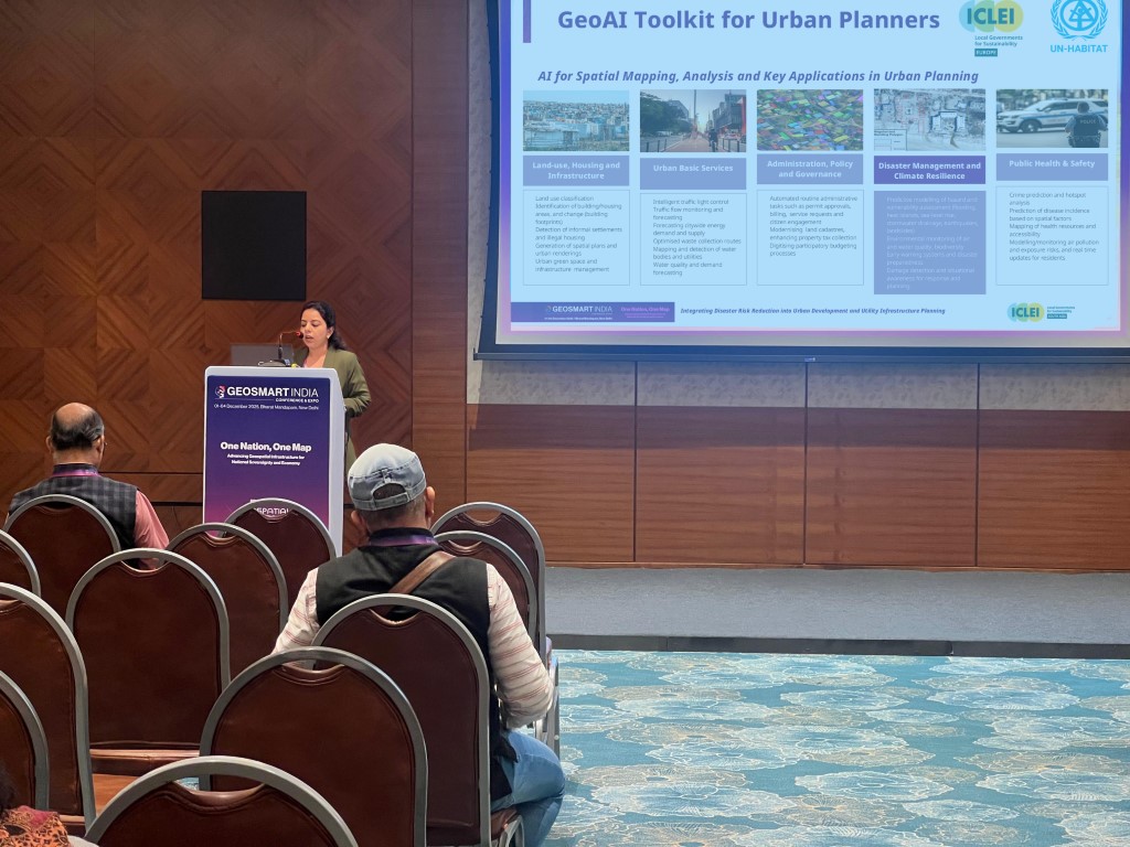
- Advancing AI-enabled planning tools through a collaboration with ICLEI Europe, to develop the GeoAI Toolkit. Funded by UN-Habitat, the toolkit guides AI-driven spatial mapping, analysis, and applications for urban planning.
Beyond tools and technologies, ICLEI South Asia’s interventions emphasised the importance of institutional capacity, inter-departmental coordination, and local ownership to translate data-driven insights into sustained policy and planning outcomes. Discussions highlighted the need to break sectoral silos and adopt integrated, data-driven approaches to build resilient, inclusive cities across South Asia.
ICLEI South Asia remains committed to working closely with cities to co-develop and scale geospatial approaches that enable risk-informed decision-making, protect vulnerable communities, and support sustainable urban transitions in the face of escalating climate impacts.