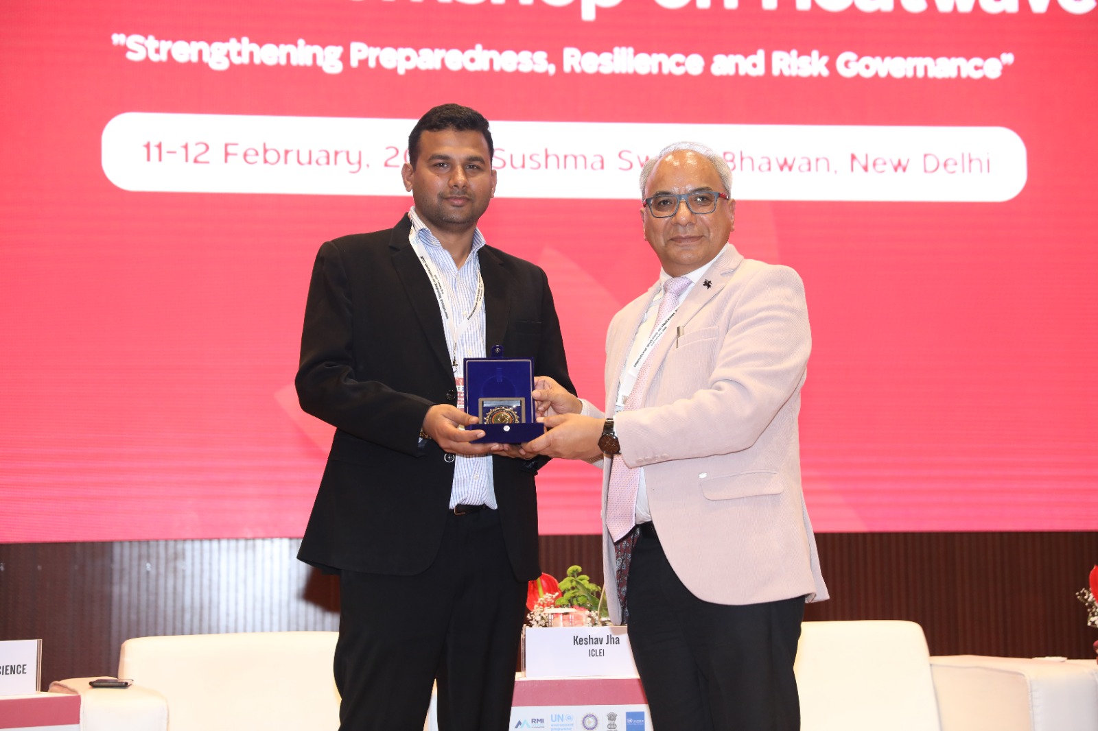
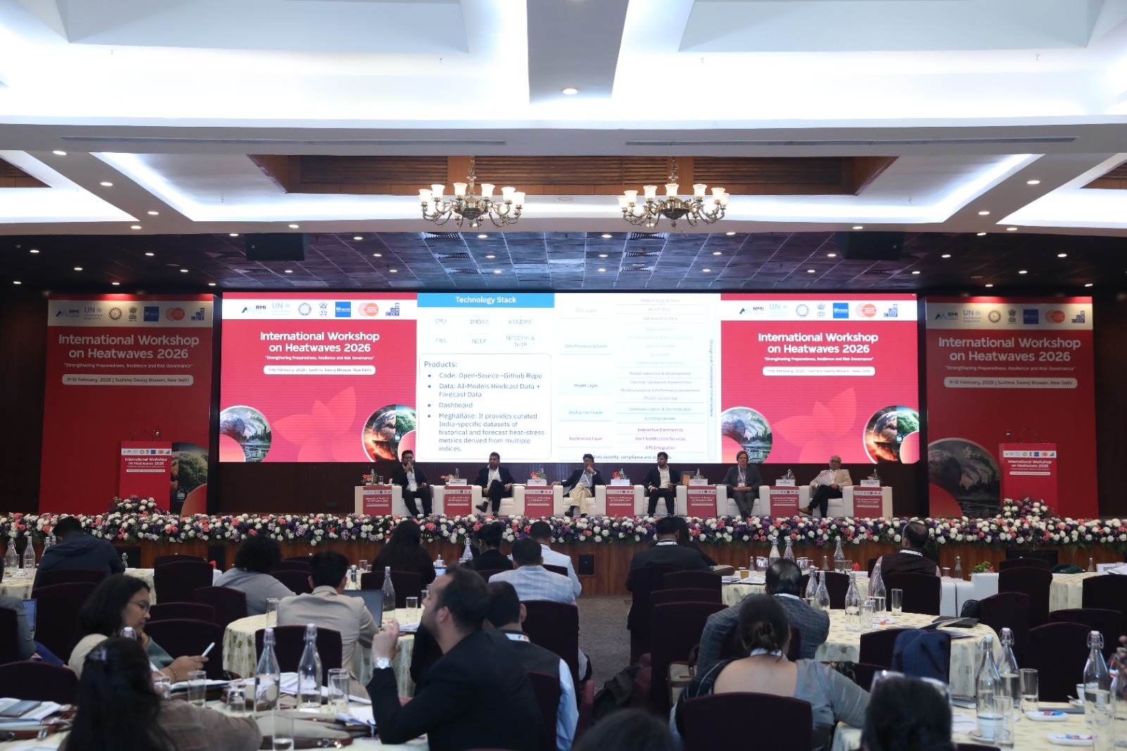
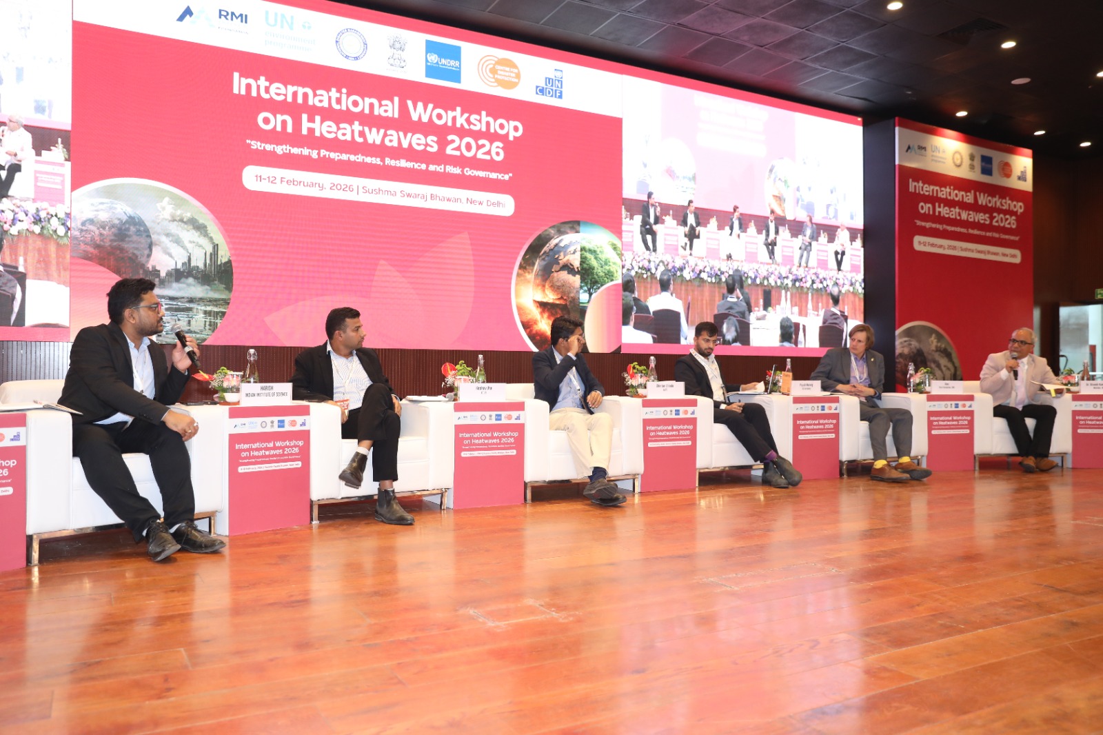
ICLEI South Asia participated in the “International Workshop on Heatwaves 2026: Strengthening Preparedness, Resilience and Risk Governance,” organised by the National Disaster Management Authority (NDMA) in New Delhi on 11–12 February 2026.
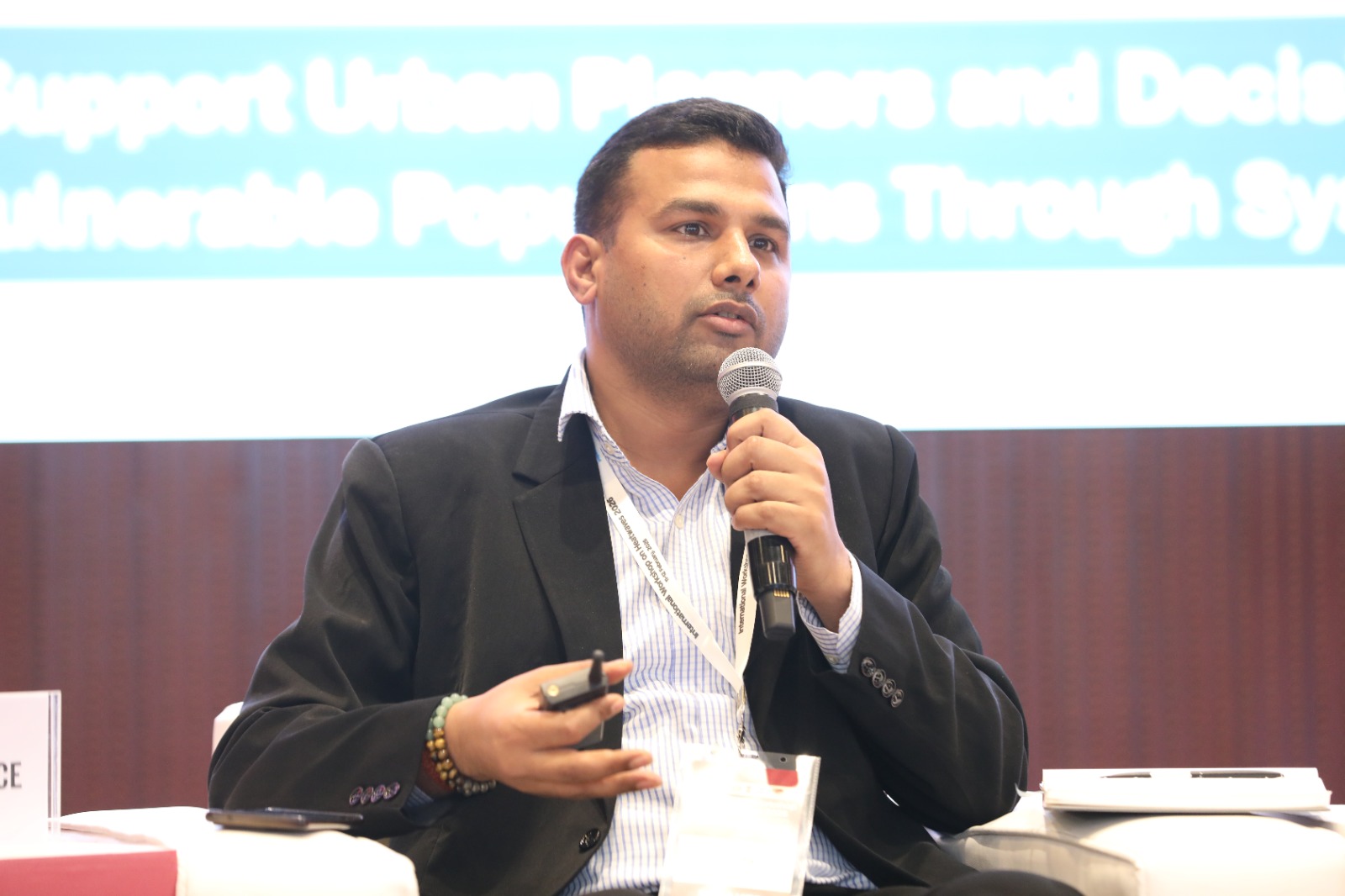
During Technical Session IV on “Data, Technology and Innovation for Extreme Heat Governance,” Mr. Keshav Jha, Senior Manager, ICLEI South Asia, presented practical tools and processes that support cities in planning and implementing heat resilience strategies. He highlighted ICLEI’s work with the various tools and processes around heat resilience planning and implementation and focused on sectoral technology platforms in heat exposure mapping, neighborhood-scale greening strategies.
A key highlight was ICLEI’s City Heat Resilience Toolkit and Heat Risk Assessment & Planning Methodology, which provide cities with a structured, evidence-based approach by integrating hazard, exposure, and vulnerability assessments into composite heat risk indices at ward and neighbourhood levels. The methodology guides cities in identifying the root causes of heat stress, assessing spatial heat risks, prioritising targeted interventions, and periodically reviewing and updating plans as new data becomes available. These tools are currently being applied by several states and cities across India to strengthen systematic and data-driven heat resilience planning.
Supporting States and Cities with Data-Driven Approaches
ICLEI South Asia is supporting multiple state governments, including Gujarat, Tamil Nadu, and Andhra Pradesh, as well as over 40 cities across South Asia, in advancing heat resilience planning and implementation. A central focus of this support is enabling town planning departments and municipalities to leverage open-source and free geospatial tools. The emphasis is on ensuring that cities, particularly small and medium-sized urban local bodies with limited financial and technical capacity, are not dependent solely on costly proprietary software.
It was also emphasised that heat impact assessments should not rely exclusively on satellite imagery. Ground-truthing through local weather station data, sensor networks, and field surveys is critical for improving accuracy. Importantly, data management systems and analytical tools must be directly linked to departmental decision-making, budgeting, and project design processes.
Mr. Jha highlighted micro-scale thermal analysis conducted using drones in two neighbourhoods of Rajkot during the preparation of the city’s Urban Cooling Plan framework, which helped in assessing land use patterns, built-up form, surface materials and emissivity, as well as blue and green infrastructure, supporting highly targeted intervention planning.
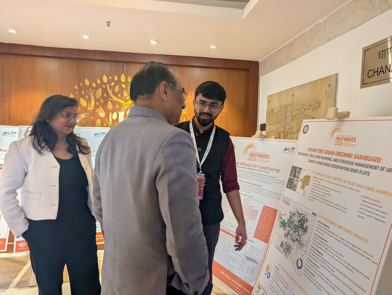
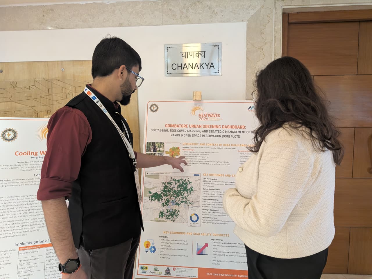
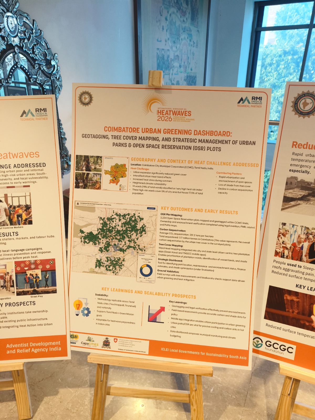
In Coimbatore, ICLEI demonstrated how integrated city-level platforms can consolidate data on green spaces and urban cooling. Mr. Debojyoti Mukherjee, Senior Project Officer, and Mr. Shubh Dhadiwal, Project Officer, ICLEI South Asia, also presented a poster on the Coimbatore Urban Greening Dashboard during the conference.
A digital dashboard has mapped over 2,000 Open Space Reservation (OSR) sites to visualise green assets at the neighbourhood scale and link them with temperature and population data. Developed under the CapaCITIES project funded by the Swiss Agency for Development and Cooperation (SDC), the platform is expected to expand to include air quality, carbon sequestration, and health indicators to better inform climate-resilient investments.
The recently released GeoAI Toolkit for Urban Planners, jointly developed by ICLEI and UN-Habitat, was also highlighted. The toolkit provides a range of geospatial AI tools for spatial mapping, analysis, and key urban planning applications, including urban heat island assessment. Participants were encouraged to explore and apply the toolkit in their respective contexts.
Beyond tools, ICLEI South Asia continues to provide technical training and capacity building on heat resilience innovation. This includes GIS-based training to address localized climate impacts such as urban heat islands, as well as practical exercises such as mapping Coimbatore’s water distribution network using accessible digital platforms. In addition, ICLEI South Asia maintains an Urban Greening Data Repository covering 53 Indian cities, including Biodiversity Surveys, City Biodiversity Indices (CBIs), People’s Biodiversity Registers (PBRs), Local Biodiversity Strategy and Action Plans, and Illustrated Natural Assets Maps
The event underscored the growing importance of data-driven governance, technological innovation, and institutional capacity in addressing the escalating risks of extreme heat. ICLEI South Asia’s continued engagement reflects a strong commitment to supporting cities and states in building integrated, evidence-based, and scalable heat resilience strategies.